Thank you for being part of our story
Our people
Working to help people and wildlife live better together
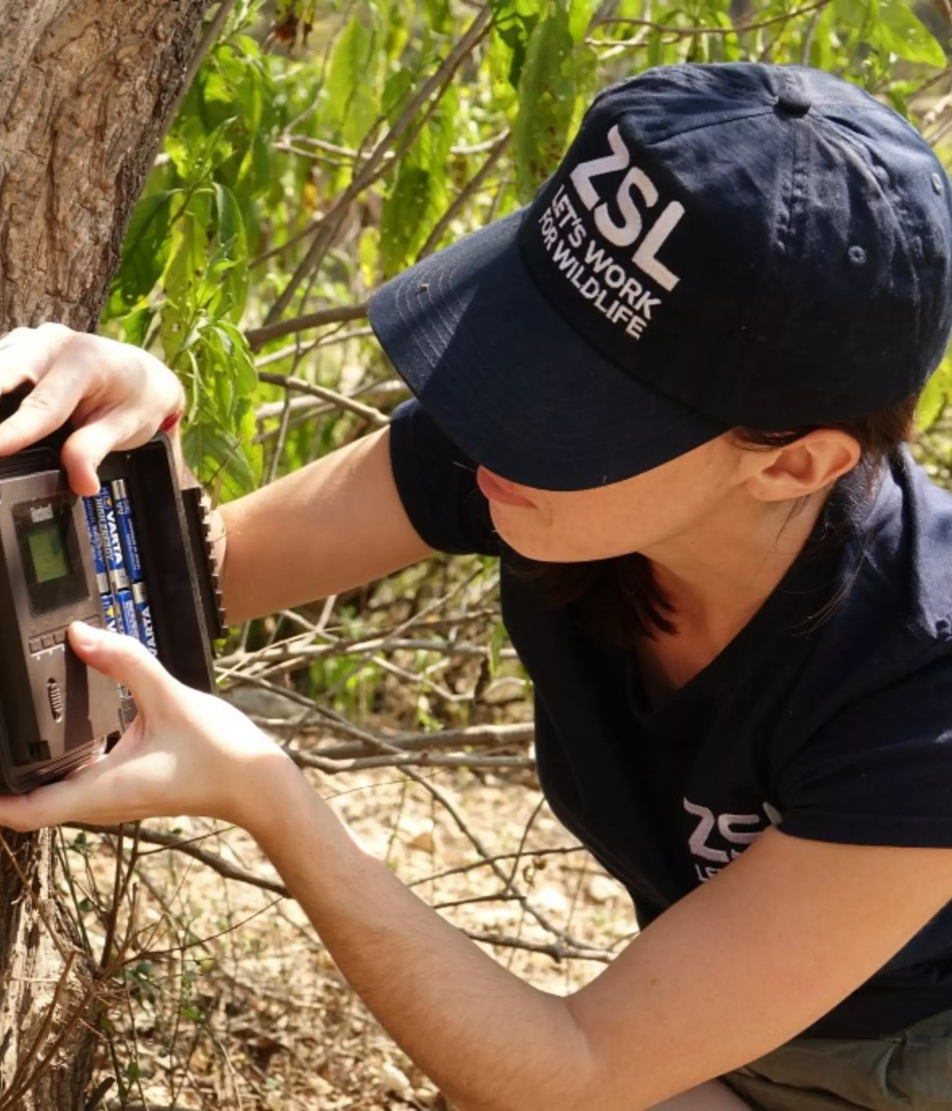
Our hundreds of scientists and conservationists are working all around the world. In the field, in the classroom and in the lab, our collective breadth of knowledge is inspiring the change needed to save our natural world. Each and every day they are helping people and wildlife live better together, driving forward a journey of recovery for the planet, and restoring the wonder and diversity of life everywhere. Explore a selection of our experts’ profile pages below.
Abdel Halim Lushimba
WAP Landscape Manager
Adrien Gelle
PhD Student
Alexandra Thomas
PhD Student
Alice Field
Engagement Coordinator, Finance Sector
Alison Debney
Conservation Lead, Wetland Ecosystem Restoration
Amy van Gelder
Communications Specialist in the WildCats Conservation Alliance
Ana Pinto
Outreach Specialist
Andrew Cunningham
Deputy Director of Science
Andrew Terry
Director of Conservation and Policy
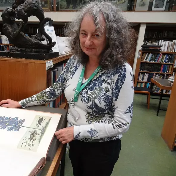
Ann Sylph, MSc, MCLIP
ZSL Librarian
Annabelle Dodson
Sustainable Business Project Manager
Armstrong Mba Acha
Sustainable Business Advisor
Ashleigh F. Marshall
PhD Researcher
Becki Lawson
Senior Research Fellow
Becky Austin
Senior Marine Projects Manager (maternity cover)
Ben Parker
PhD Researcher
Benjamin Tapley
Curator of Amphibians and Reptiles
Beth Stacey
PhD Student
Bethan Laughlin
Senior Policy Specialist
Bridget Adams
Sustainable Finance Analyst